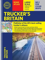
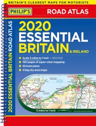
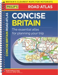
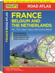
“The detail you need at a size you can read”. The latest 2024 Easy to Read Britain Road Atlas from Philip’s Road Atlas range. A practical and chunky A4-sized paperback with handy flaps to help plan any journey.
– Large print maps
– Huge 1:150,000 scale (approx 2.4 miles to 1 inch)
– Large print place names
– Large print index
– Super-clear 10-page routeplanner
– Handy flaps to mark pages and keep track of journeys
At last, a Road Atlas that everyone can read easily, in or out of the car, no matter what the conditions. Large scale maps, large print place names, clear road colours (which are easier to read in the dark), a large print index and a special route-planning section that’s almost a road atlas in itself.
With a distance chart for quick calculations, thousands of attractions and hundreds of campsites clearly marked, packed with clearly outlined scenic routes and viewpoints, and all counties marked up, your travels have never been easier to plan.
If it’s dark, or you just can’t find your glasses, the new Philip’s Easy to Read Britain Road Atlas is the answer – wherever you’re driving in England, Scotland or Wales.
Newsletter Signup
By clicking ‘Sign Up,’ I acknowledge that I have read and agree to Hachette Book Group’s Privacy Policy and Terms of Use
Reviews
Big scale is a great plus. Easier to spot more features on map.
The pages in the front make it easy to find which page has the detail you want.
So much easier to use than the great big ones you can get. I ordered the easy-to-read size as I am getting older and need the extra bit of help this gives.


